-

The Best Time to Visit Mount Shirouma Is Now【Nagano Prefecture, Hakuba-mura】
Author: Federica Kadose
This is your sign to visit Nagano Prefecture and treat yourself to a nice hike, the kind that locals enjoy. Mont Shirouma, also known as Hakuba-dake (白馬岳, Shirouma-dake) offers mountain meadows, snowfields that linger into summer, and is your next spot for a great adventure.
目次
Where is Mount Shirouma
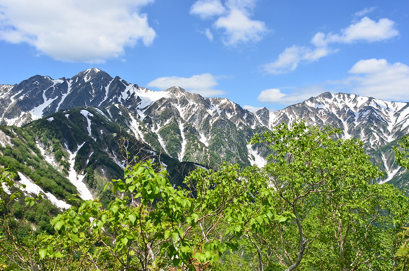
Shirouma is a 2,932 metres high mountain located in the northern Japanese Alps, and it is part of the Chūbu-Sangaku National Park.
The “Shirokaki-uma” (代掻き馬) is the most famous of the snow patterns on Mt.Shirouma and is said to be the origin of the place name “Hakuba.” It depicts the image of a horse running up a slope, with its head facing left and its tail to the right.
When this pattern appeared in early spring, the villages at the foot of the mountain used it as a sign to start preparing rice fields.
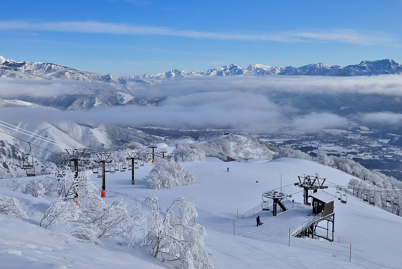
While the mountain is known internationally for its winter snow, the summer and autumn hiking seasons are still uncrowded compared to other better-known alpine routes such as Kamikochi.

On the east side is the Hakuba Daisekkei, the largest snowfield in Japan, which remains until August, resulting from winter snow and avalanches from the surrounding mountains. Also in summer, the top part of the snowfield is covered in pretty alpine flowers.
Hiking All The Way to The Top Is For Everyone
The Hakuba mountain range offers a wide variety of hiking trails, from hikes that even beginners can enjoy to traverse routes for those with good legs.
The most popular trail up Mount Shirouma starts from the Sarukura trailhead and passes Daisekkei. Imagine trekking over a frozen river of snow! And do not worry, you can rent crampons and other gear at the base if you didn’t pack for icy conditions.
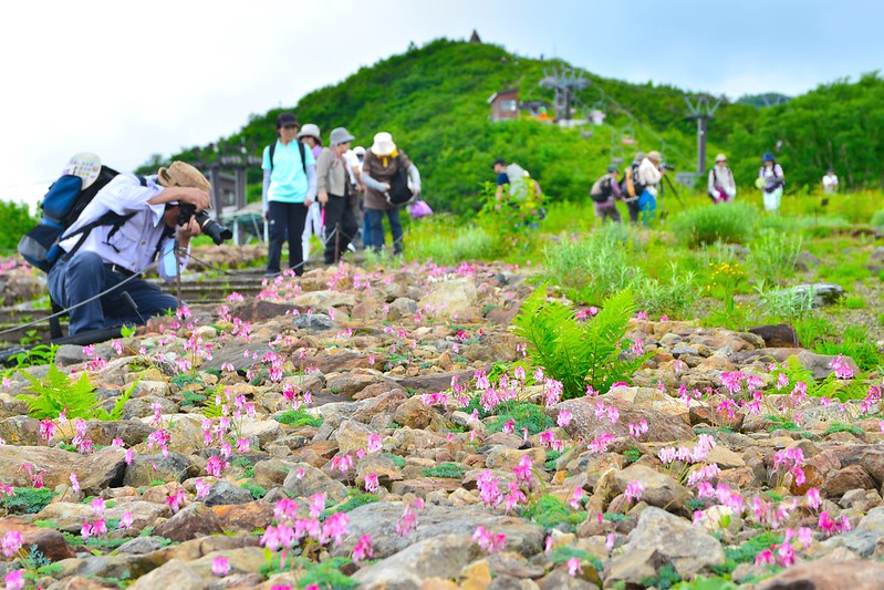
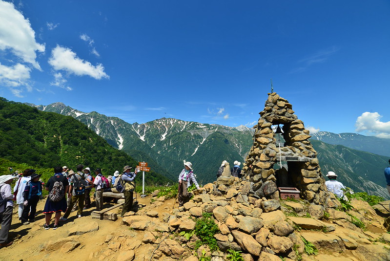
After the snowfield, the trail climbs into meadows of wildflowers in July, then giving way to rocky areas. The summit offers a 360-degree view of the surrounding mountains, maybe a slice of Sea of Japan if you’re climbing on a clear day.
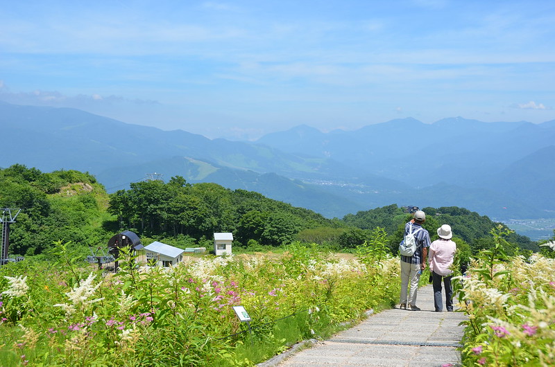
To avoid a full-day climb, you can take shorter walks in the area. Even the lower valleys are photogenic!
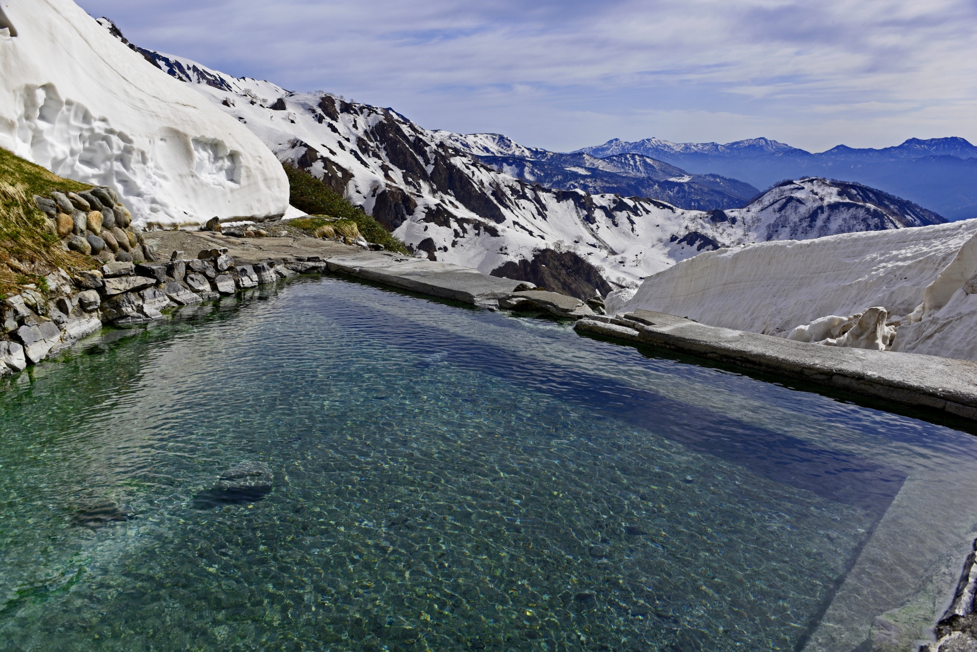
At 2100m on the middle slope of Mt. Yari you can find Hakuba Yari Onsen, one of the highest-altitude hot springs in Japan. At the northern foot of Hakuba Oike Pond you also have Renge Onsen.
With snowfields, flower fields, rocky ridges and mountain hot springs, the area welcomes many Japanese climbers each summer. Most climbers in this time ascend via Oyukkei, so you might have to wait in line on the Oyukkei during the summer holidays.
Insider Tips
■ Stay Overnight: There are mountain huts near the summit where you can watch the sunset and wake up above the clouds. Book in advance for this.
■ Pack Light and Rent Smart: If you’re coming in summer, rent snow gear at the base. (Crampons and trekking poles are available from around ¥1,000–¥2,000/day.)
■ Soak After Your Walk: Reward yourself with a dip in a local onsen. Nothing beats a hot spring after a long day in the mountains. Let your muscles relax, and enjoy the view! (Public baths start from about ¥500; some hotels include free access for guests.)
Visitor Information
■ Address: Hokujō-Yotsuya, Hakuba-mura, Kitaazumi-gun, Nagano-ken 399-9301
■ Website: https://vill-hakuba.nagano.jp/
■ Hiking Routes: https://hakubakan.com/en/route/
Access Information
■ From Tokyo: Take the Hokuriku Shinkansen to Nagano, then a local bus to Hakuba. (approximately 2 hours and 30 minutes)
■ From Osaka/Kyoto: Take the Limited Express Thunderbird to Kanazawa, then the Shinkansen to Nagano, followed by a bus to Hakuba. (approximately 4 hours and 30 minutes).
■ Trailhead Access: From Hakuba Station, local buses or taxis can take you to the Sarukura trailhead. In peak hiking season, buses run more frequently.
最新の市町村紹介
Japan’s National Parks Are The New Trend: Exploring the Bandai-Azuma-Adatara Volcano Trail 【Nihonmatsu City, Fukushima Prefecture】
2026年4月21日

A Trip in Yanbaru Forest, Northern Naha 【Okinawa Prefecture, Kunigami District 】
2026年3月17日
Fulfill Your Wanderlust in Mount Yufu, Yufuin Basin【Oita Prefecture, Yufu City】
2026年1月27日
成田空港から車で20分! 世界に一番近い田舎「多古町」が冬~春の観光情報をお届けします!【千葉県多古町】
2026年1月5日

レトロな街並みを散策!宇佐市&豊後高田市おすすめ観光スポット巡り【宇佐市×豊後高田市】
2025年12月22日


